Q&As
What is being proposed?
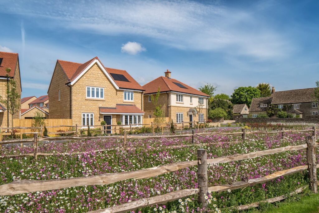
The first phase of the Willowbrook scheme covers the majority of the SGL site, and will include:
- Approximately 1700 new homes, including affordable housing
- A new primary school with preschool education provision
- A new Local Centre, including local shops and community facilities
- A new Park & Ride facility located adjacent to Junction 10, with 350 parking spaces
- New footpaths and new cycleways linked to existing communities and routes off site
- New wildlife habitats and improved connectivity with existing habitats with extensive open space, formal and informal sports provision
- Sustainable drainage and water management
What are the housing needs of Tewkesbury?
Reflecting population projections, by 2031 there will be a requirement for 33,500 new homes to be built in the area. Housing needed in the local area is twice the level of actual supply, with young people, working families and the retired facing particular pressures. The need for affordable housing, particularly for key workers, is made worse by limited opportunities to provide new housing within existing towns and rural villages.
Why has Bloor Homes brought forward phase one of Willowbrook now?
Bloor Homes is initiating the planning process for ‘Willowbrook’ now for two key reasons:
- Meeting housing demand: There is an urgent need for high-quality housing in Tewkesbury & Cheltenham.
- Delivery and integration: The proposed development can be coordinated with the imminent Junction 10 DCO scheme and the upgrading of Tewkesbury Road.
What is Bloor Homes consulting on?
The current online public consultation is about the phase one proposals
Why has the proposed access application already been submitted?
The access application has now been submitted, to allow it to be taken into consideration for the final designs for the Junction 10 and Tewkesbury Road improvements. This aims to ensure effective coordination of these significant infrastructure projects, enabling them to work together seamlessly, accelerate delivery and mimimise disruption due to construction.
What is Elms Park?
Elms Park is a mixed-use development located on land north of the Tewkesbury Road (A4019) between Kingsditch trading estate and east of Uckington. Know technically as the North West Cheltenham Strategic Land Allocation, the project was given planning approval in May 2025.
The development proposes:
- Up to 4000 homes
- New district centre and smaller local centre including retail and healthcare facilities
- Sustainable transport hub including enhanced public transport
- Three new schools
- New footpaths and cycleways
Find out more here https://elmsparknwc.co.uk/
What does the new access application include?
The access application proposes a traffic light-controlled junction to allow safe access from the SGL for vehicles and pedestrians onto the upgraded Tewkesbury Road while also ensuring that proposed cycle routes in the M5 Junction 10 Improvements Scheme are integrated into the junction. There would also be a signal-controlled crossing of the access road for use by both pedestrians and cycles, as well as a new pedestrian crossing across Tewkesbury Road near to the proposed access junction.
What is an outline planning application?
An outline planning application is a preliminary submission by a developer that establishes the scale, nature and principle of a proposed development before submitting a detailed planning application. It seeks approval in principle before more specific details are submitted for later approval.
What is a Development Consent Order (DCO)?
A DCO is the legal granting of permission by the appropriate Secretary of State for a development that is considered a Nationally Significant Infrastructure Project. In this case, the DCO relates to the upgrade of M5 Junction 10 to an all-direction junction and significant improvements of the Tewkesbury Road east of Junction 10.
What specific improvements to Tewkesbury Road does the DCO include?
The £350 million scheme includes the widening of Tewkesbury Road into a dual carriageway from Junction 10 to Hayden Road near Sainsbury’s. The scheme would also include upgrading footpaths and incorporating a cycle route on both sides of the road.
What is Safeguarded Land?
Safeguarded Land (SGL) is a site that has been designated in a local planning authority’s Local Plan as being required for development needs in the future. The land north of Tewkesbury Road was allocated as SGL in the 2017 JCS.